 Collection / Naeba Mountain Foothills Geopark Promotion Council
2025.01.06
Story#ForestGeography
Walk Amid Spectacular Views of the Naeba Foothills and Akiyama-go!
TextTaiki Honma
 Collection / Naeba Mountain Foothills Geopark Promotion Council
2025.01.06
Story#ForestGeography
TextTaiki Honma
A new trail, the Nakatsugawa Left Bank Trail, has just opened, running along the Nakatsugawa River that flows through Akiyama-go. The route traverses cliff edges formed by overlapping river terraces and lava flows, offering not only breathtaking natural vistas but also the chance to experience the daily life and history of Akiyama-go firsthand. This article provides an in-depth report on the trail’s highlights, recommended spots, and the surprising significance and potential that this trail holds.
Following the Nakatsugawa River through Akiyama-go, the newly opened Nakatsugawa Left Bank Trail runs along the dramatic cliff tops of overlapping river terraces and ancient lava flows. Blessed with rich natural scenery and panoramic views, this trail also offers a window into the lifestyle and history of Akiyama-go. Read on to discover the must-see attractions, local recommendations, and the unexpected importance and future possibilities of this remarkable route.
Originating at Lake Nozori in Gunma Prefecture, the Nakatsugawa River flows past the foothills of Mount Naeba before joining the Shinano River. Spanning about 35 kilometers in total, it passes through Akiyama-go, renowned as one of Japan’s “Top 100 Secret Regions.” From its headwaters to the Shinano confluence, the river descends over 1,000 meters, giving it an average gradient of about 1:30—roughly the same as the Fujikawa River, famous for its fast current.
“The Nakatsugawa River’s flow is among the swiftest in Japan, known for its many rapids,” explains Mr. Hisakazu Ishizawa of Tsunan Town’s Tourism and Regional Development Department. “Intense erosion and tectonic activity formed Tsunan’s tiered river terraces—sometimes referred to as having nine layers—and the V-shaped gorge of Akiyama-go upstream.”
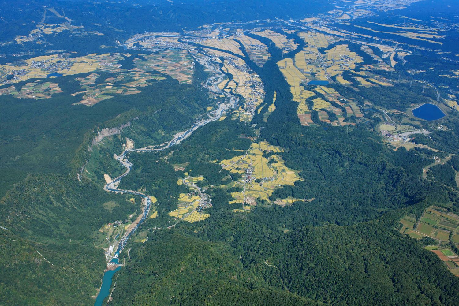
It’s along the river’s left bank that the new Nakatsugawa Trail has been established. Spanning roughly 27 kilometers from beside a small shrine in the Ishizaka hamlet of Tsunan Town to the ruins of Yabitsu Village in Sakae Village (Nagano Prefecture), the trail was partially explored with Mr. Ishizawa as our guide.
Our journey began by car, heading toward the small shrine in Ishizaka. Turning off National Route 117 onto Route 405, we drove upstream alongside the Nakatsugawa River for about five minutes, then took a right to cross the Ishizaka Bridge. From the car window, you can see the imposing cliff of the Okinohara Plateau—a prominent river terrace—looming like a giant screen. Standing some 200 meters high, the road climbs in switchbacks seemingly clinging to the cliff face. With each turn, the villages on the far bank spread out in a breathtaking panorama below.
“In the past, children from Ishizaka used to carry lit torches up these steep switchbacks to the shrine for a fire festival,” Mr. Ishizawa explains. “When the number of children in Ishizaka declined, students from Nakatsu Elementary School continued the tradition—but it too ended about 20 years ago.”
The faint traces of the old footpath still exist, though it’s rarely used today. We drove up to the shrine and got out of the car.
“We’re now standing at the very edge of the river terrace you saw from below,” Mr. Ishizawa noted. “Look through the gaps in the trees and you’ll catch glimpses of the village far below.”
Peering eastward between the trees, you can see the Nakatsugawa River winding along the bottom of a deep chasm, with miniature villages scattered across the opposite bank. Turn north and west, and flat farmlands stretch across the Okinohara Plateau in front of you. It’s almost as if two separate worlds—one high and one low—have been carved by the cliffs, existing side by side yet entirely apart.
Once again, we hop into the car and head further upstream, veering onto what can hardly be called a road. Gone is the flat river terrace we saw earlier—this route undulates dramatically.
“This terrain was formed by lava that erupted from Mount Naeba around 300,000 years ago. It flowed all the way here, overlaying the terrace,” Mr. Ishizawa explains.
The sheer volume of lava quickly filled the Nakatsugawa River valley. Over the course of 300,000 years, however, the swift-flowing river carved through that hardened lava, creating a deep gorge once again. At places where the terrace and lava overlap and have been eroded away, the cliffs can reach heights of up to 300 meters (about 985 feet).
“The Nakatsugawa Left Bank Trail runs right along the brink of those lava cliffs,” says Mr. Ishizawa.
We drive about three kilometers (about two miles) upstream from the Ishizaka shrine and stop at Ryutatsumine (龍辰峰). There’s a small clearing that offers a sweeping view of the valley below.
“Look, do you see that little pond-like spot down there? That’s the Mitama Park where we just were,” Mr. Ishizawa points out. Earlier, from Mitama Park, we gazed across at a towering cliff face—nearly 300 meters high—adorned with columnar joints.
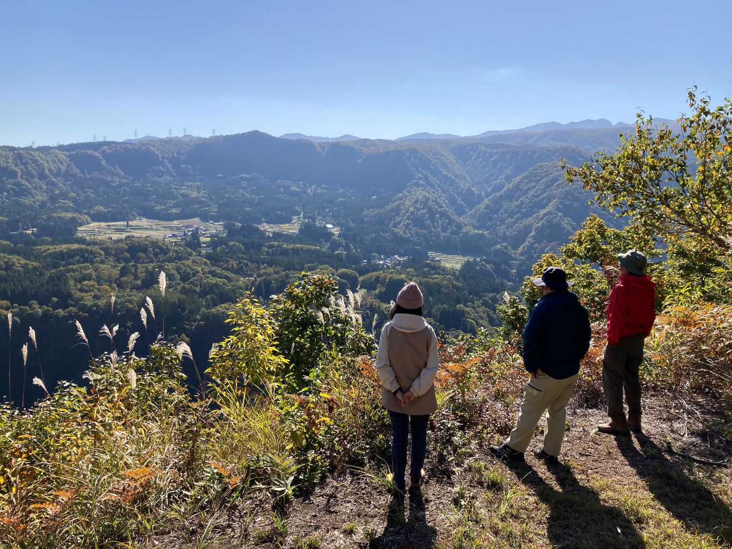
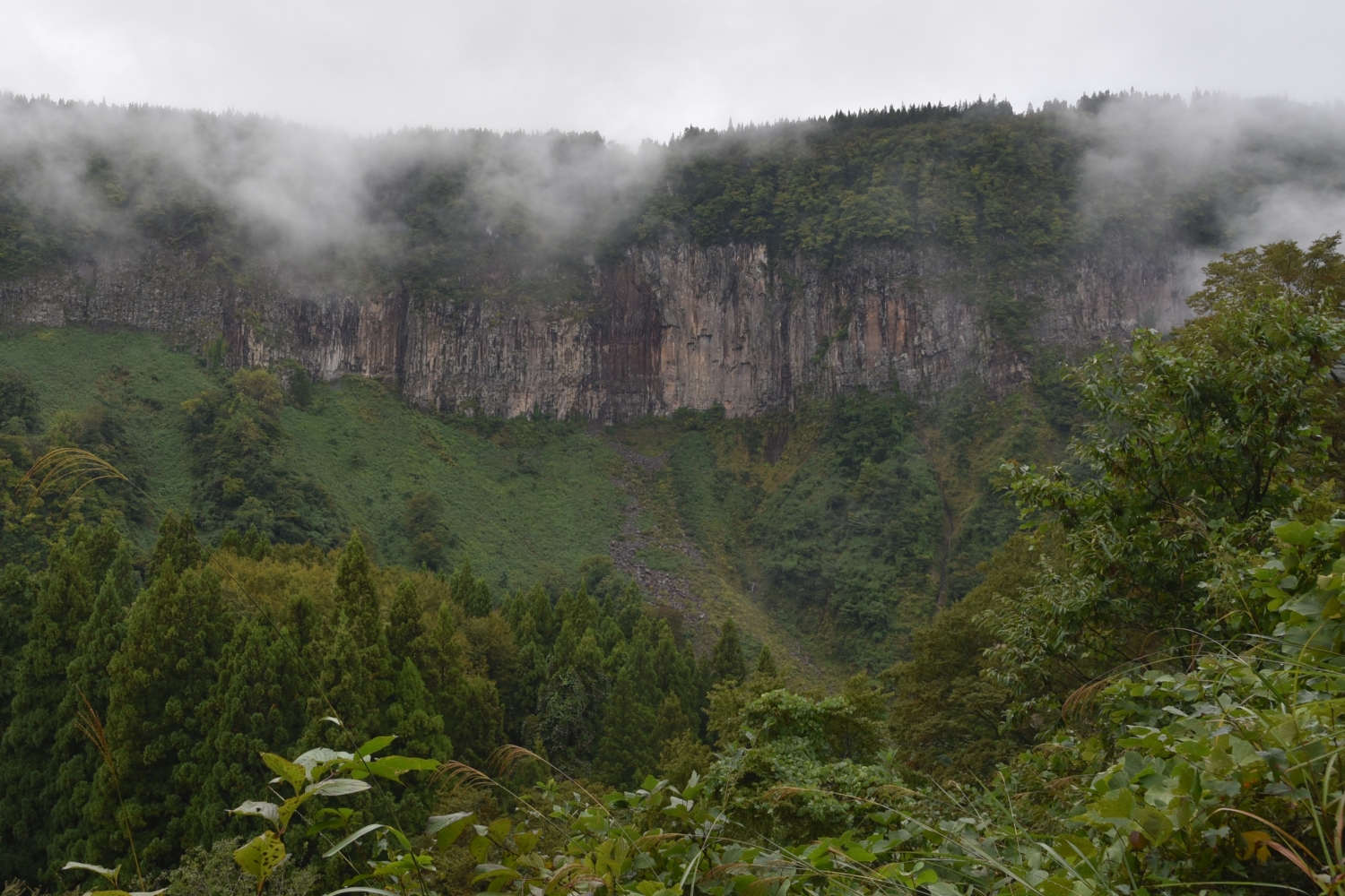
These columnar joints are formed when lava cools rapidly and contracts, creating vertical, pillar-like fractures in the rock. The majestic rock formations sculpted by Mount Naeba’s lava flow are called Ishiotoshi (石落し), sometimes referred to as Japan’s own version of the Grand Canyon. From Mitama Park, this sheer wall appears like a massive screen dominating the landscape, an awe-inspiring natural monument. Standing on top of that very precipice now can send a thrilling shiver down your spine.
From Ryutatsumine, we begin our walk toward Ketto (穴藤), about 1.5 kilometers (just under a mile) away. Right from the start, there’s a sign warning of bears. But how exactly should one stay safe? Generally, it’s best not to walk alone—groups chatting loudly and making noise are ideal. If bears sense human activity, they tend to steer clear, reducing the chance of a surprise encounter.
As we enter the forest, a narrow path just wide enough for a single person stretches onward beneath the trees. Judging by how well-trodden it feels, it’s likely an old route that has existed for years.
“The Nakatsugawa Left Bank Trail incorporates ancient footpaths once used by locals from nearby villages,” Mr. Ishizawa explains. “Where needed, we built new sections to connect them into one continuous trail.”
It’s thrilling to imagine that long-ago residents might have traveled the very same path. It’s as if, crossing time and space, you can sense their presence in every step along these old mountain roads.
The trail winds through a mixed forest of broadleaf and coniferous trees. On the left, the land drops off into a cliff, letting shafts of bright sky peek through the foliage. Because the trees are fairly dense, you don’t really feel as though you’re walking right on the edge. On the right, a deep woodland stretches far into the distance. When lava first flowed here from Mount Naeba, it probably resembled the barren surface of Mars. Over the span of some 400,000 years, however, that once lifeless expanse has transformed into the rich, green forest you see today.
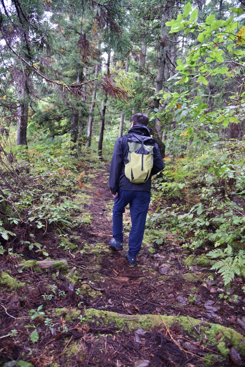
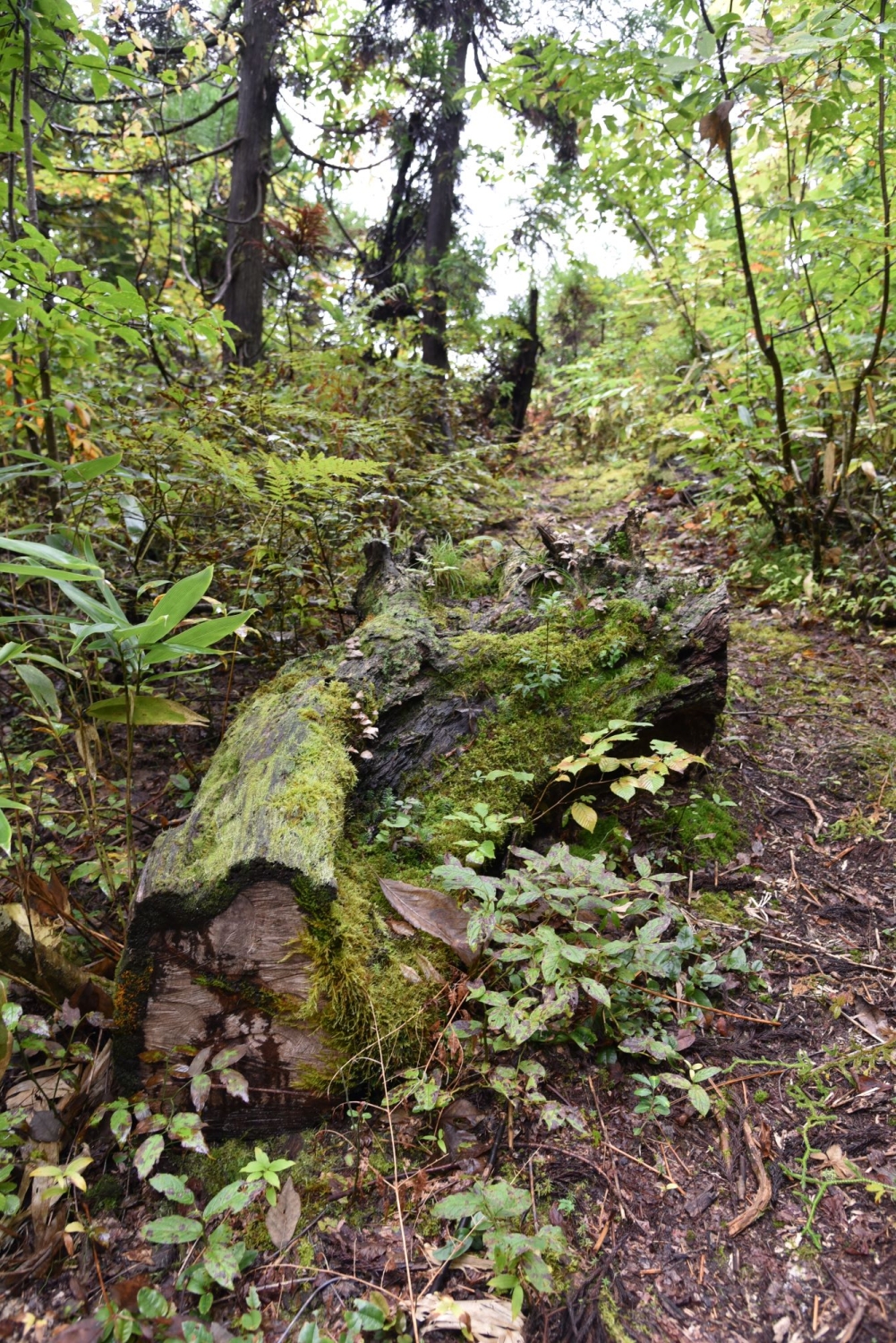
Perhaps the greatest appeal of the Nakatsugawa Left Bank Trail is the chance to immerse yourself—mind and body—in the ancient natural energy accumulated over the millennia. Despite the dramatic landscape, many sections of the trail are surprisingly level and easy to walk. That said, according to Mr. Ishizawa, the route between Ryutatsumine and Ketto is the gentlest part of the entire 27-kilometer (17-mile) course. Some sections can be quite rugged. The elevation ranges from about 500 meters (1,640 ft) near the entrance by the Ishizaka shrine to around 1,100 meters (3,610 ft) at the Torikabuto Ranch junction—a difference of roughly 600 meters (1,970 ft).
“It’s not exactly an easy course overall,” Mr. Ishizawa notes. “But there aren’t any extreme hazards, so it’s not just for experts.” For anyone who enjoys trekking, it’s sure to be a rewarding hike with just the right amount of challenge.
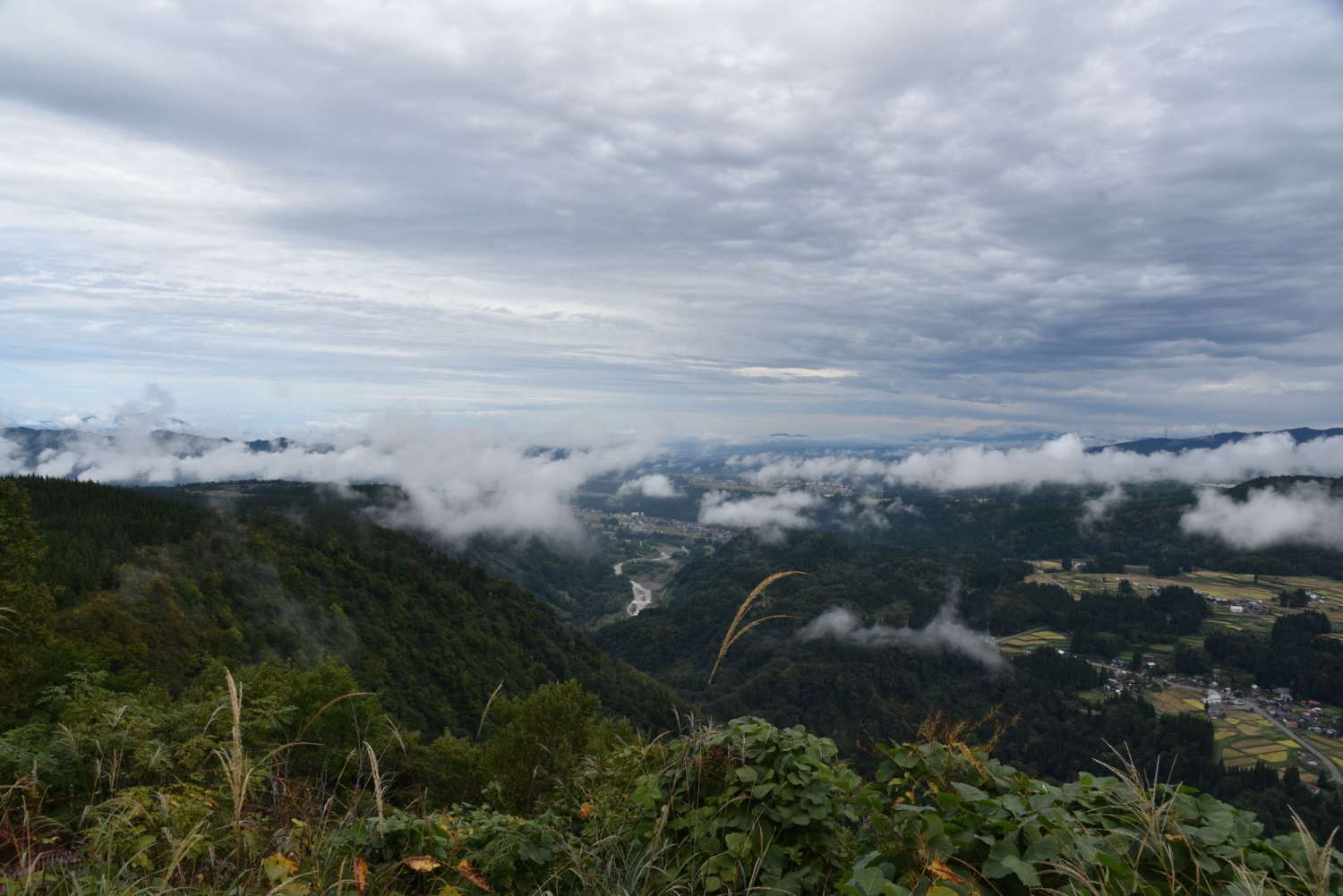
One of the biggest highlights is the stunning scenery that appears periodically through clearings or at designated lookout points. Even on the short stretch from Ryutatsumine to Ketto, we were treated to panoramic views of the magnificent river terraces along the Nakatsugawa River. “The real charm of this trail,” Mr. Ishizawa adds, “is that you can soak in these vistas while you walk.”
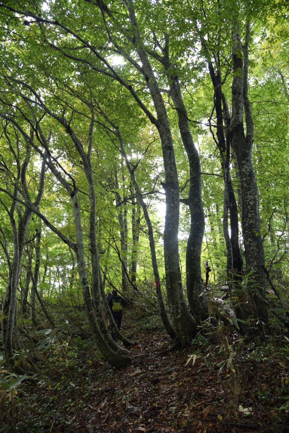
Another must-see highlight is a route that winds through an enchanting beech forest. From Ketto Peak to the upstream Yuto district—about 7 to 8 kilometers (4–5 miles)—the trail is lined with beech trees. Perched around 900 meters (2,950 ft) in elevation, it provides ideal conditions for these graceful giants. Thanks to the region’s heavy snowfall—often topping three meters (10 ft) each winter—you can even find beech forests flourishing at relatively lower elevations of about 300 meters (985 ft).
These beech woods are known as a “climax forest,” the final stage of natural forest growth when left undisturbed. In newly bare land, sun-loving shrubs like azaleas appear first; next come taller, pioneering species such as birch, which dominate for a time. Eventually, shade-loving trees take root, and in the end, beech and mizunara oaks take over the canopy.
If you’ve ever set foot in a beech forest, you’ll know that low shrubs are few and far between. Instead, the beech trunks rise straight and tall, while a soft carpet of fallen leaves covers the ground, creating a sense of orderly beauty and pure, fresh air unlike any other woodland.
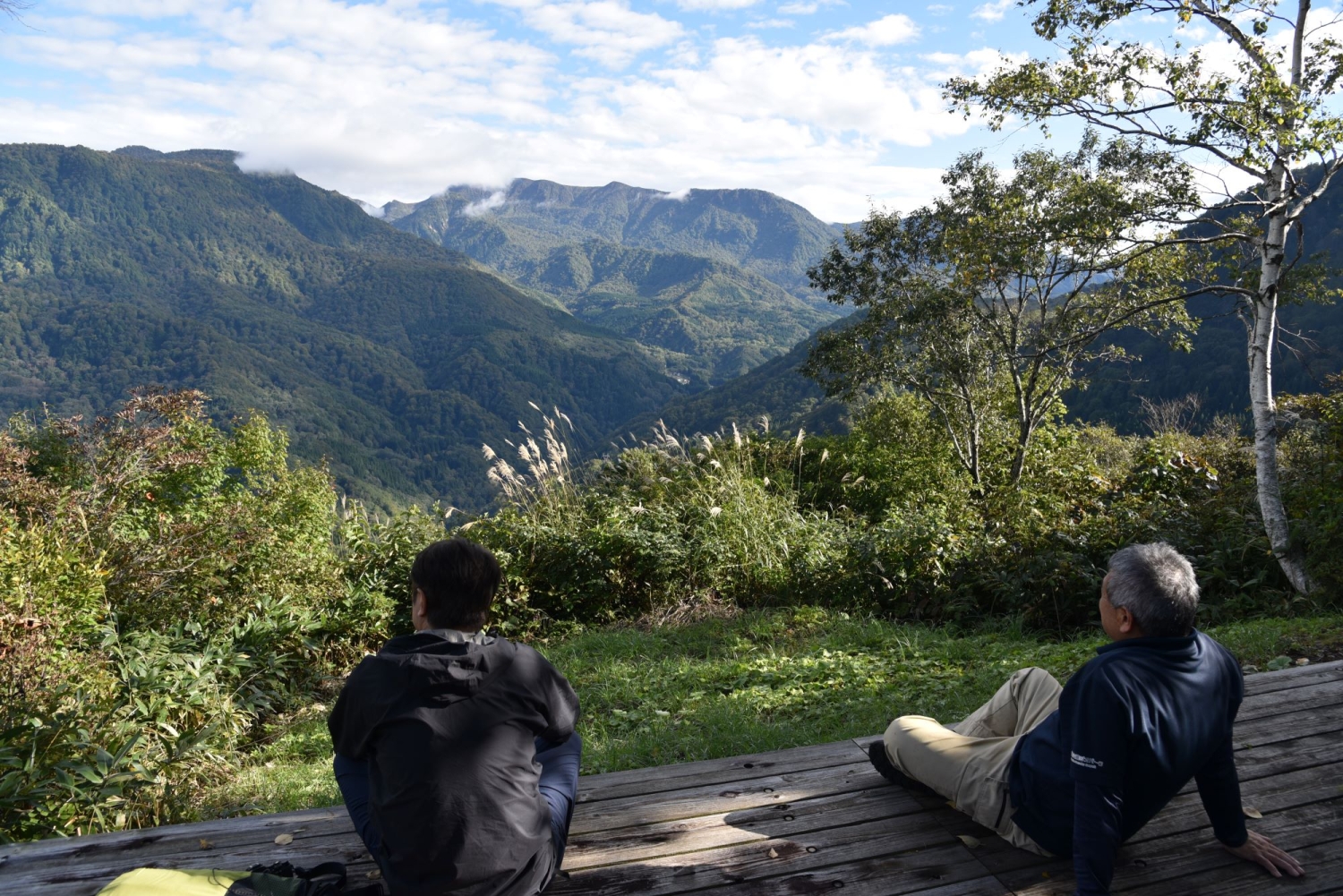
After you emerge from this tranquil beech forest and walk about three more kilometers (nearly two miles) upstream, the vista suddenly opens up before you at the Maekura Todo Overlook, commonly known as the “Mountain Observatory.” You’ll be treated to a sweeping panorama of the Akiyama-go mountain ranges. Directly ahead soars the 1,993-meter (6,539 ft) summit of Mt. Hikageyama. Farther to the right, Mount Naeba—with its distinct flat-topped “inverted plate” profile—dominates the skyline. Awash in crisp, post-rain air and veiled by drifting clouds, it’s so stunning that you can’t help but stop and stare.
Best of all, there’s a spacious wooden deck where you can sit down, rest, and take in the scenery to your heart’s content. “Wow, this is incredible!” exclaims one member of our group. It’s early October—not quite peak foliage season—yet yellow hues have already begun to creep up the foothills. Just imagine the spectacle of these mountains ablaze in full autumn colors. Even the thought of it is enough to set your heart racing.
How did Mount Naeba’s summit end up so remarkably flat? Could the top have been blown off by a volcanic eruption? “Actually, we believe it’s because the lava that flowed out was low in viscosity,” explains Mr. Ishizawa. “Instead of piling up into a peak, it spread out across the landscape and cooled in a relatively smooth, flat shape.” A vast quantity of fluid lava simply flowed outward and solidified into the broad summit we see today.
Mount Naeba’s eruption is thought to have occurred about 300,000 years ago. Even further back—around 800,000 years ago—Mount Torikabuto (2,037 m), standing directly across the Nakatsugawa River from Mount Naeba, underwent a massive eruption of its own, with lava similarly streaming down its slopes.
Successive eruptions and overlapping lava flows from Torikabuto and Naeba, combined with tectonic uplift and the powerful erosive force of fast-flowing rivers like the Nakatsugawa and Shinano, gave rise to the dramatic river terraces and the deep V-shaped gorge that defines Akiyama-go. This region was shaped by dynamic geologic transformations over countless ages, as natural forces—rain, snow, rushing rivers—clashed and worked together to sculpt the land. The result is a grand tapestry of nature’s artistry, etched into the landscape over eons.
About 2 kilometers (1.2 mi) above the overlook mentioned earlier lies the highest point of the trail at the Torikabuto Ranch Junction (about 1,100 m in elevation). Beyond that, the path plunges sharply downhill toward the end of the trail at Yabitsu Riverbank, about 5 kilometers (3 mi) away. Although completing all 27 kilometers (17 mi) of the trail in a single day would be challenging, spending one night at a guesthouse in the Yuto area makes it quite doable over two days. Alternatively, you can follow only a portion of the route—just as we did—yet still gain a rewarding taste of the Nakatsugawa Left Bank Trail.
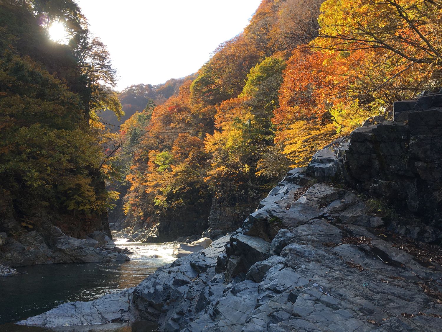
For instance, a recommended route begins in the Sakamaki district beech forest and ends at the Maekura Todo Overlook. This stretch is just under 10 kilometers (6 mi) and takes about five hours to complete. If you set out in the morning, you’ll arrive at the overlook right around midday—perfect for a leisurely meal while gazing at the mountains of Akiyama-go and the distinctive silhouette of Mount Naeba. In autumn, when the foliage ignites in a blaze of color, it’s hard to imagine anything more spectacular.
The idea for the Nakatsugawa Left Bank Trail actually goes back more than ten years. Mr. Masakazu Sato of the Tsunan Town Board of Education, who has been involved since the early planning stages, explains:
“We never intended this trail to serve only the left bank of the Nakatsugawa. We envision it as part of a major circuit route around Mount Naeba, linking existing trails such as the Shin-etsu Trail, the Snow Country Trail that connects seven municipalities in the Snow Country Tourism Zone, and Gunma Prefecture’s Kenkyō Ridgeline Trail now under development.”
Stretching 110 kilometers (68 mi) along the Nagano–Niigata prefectural border, the Shin-etsu Trail starts near Lake Nojiri in Nagano at Mount Madarao and follows the ridges of Kuroiwa and Kurokura Mountains. It continues along the Sekita Mountain Range—passing Mt. Mikatagahara and Mt. Tensui—through Sakae Village and Tsunan Town, before reaching Yuto and Akiyama-go. From there, it ascends alongside the Nakatsugawa River to Koakasawa, eventually leading to Mount Naeba. Along its route are 16 historic mountain passes, once vital connections between Shin’etsu and Echigo, offering both a glimpse into local history and an immersive experience in nature.
Covering over 300 kilometers (186 mi), the Snow Country Trail unites the seven municipalities of Niigata Prefecture’s Uonuma, Minamiuonuma, Tokamachi, Yuzawa, and Tsunan, Nagano Prefecture’s Sakae Village, and Minakami Town in Gunma Prefecture. From Matsunoyama, it runs along the right bank of Akiyama-go, crosses Mount Naeba, and continues over Mikuni Pass. Heading north from Jōmō-Kōgen in Gunma, it then crosses Shimizu Pass, runs on to Yuzawa, Muikamachi, and Koide before returning to Tokamachi, Matsudai, and finally Matsunoyama—forming a vast circular route.
This trail focuses on roughly 100 kilometers (62 mi) of ridges along the borders of Gunma, Niigata, and Nagano. Stretching from Doai in Minakami Town to Torii Pass in Tsumagoi, it includes many of Japan’s celebrated 100 and 200 famous mountains—like Tanigawadake and Azumayasan—and passes near renowned hot spring areas: Minakami’s “18 Onsen,” Shima Onsen, Kusatsu Onsen, and Manza Onsen. Trekkers can enjoy long-distance hiking while soaking in these famous hot springs along the way.
“The Nakatsugawa Left Bank Trail acts like a hub connecting these existing trails,” Mr. Sato says proudly. “By creating this path, we’ve tied these other trails together more cohesively, giving hikers even more opportunities for exploration.” Indeed, with the opening of the Nakatsugawa Left Bank Trail, a section of the Snow Country Trail that runs through the same region has also become available for use, further enhancing the network of hiking options in the area.

When you look at the location of the Nakatsugawa Left Bank Trail, it naturally revolves around Mount Naeba. Circling around Naeba is the Snow Country Trail, and when combined with other routes—like the Shin-etsu Trail and the Gunma Kenkyō Ridgeline Trail—they form a broad, interconnected network open to all kinds of adventurers.
Mr. Masakazu Sato of the Tsunan Town Board of Education, who has been involved in this project from the very beginning, shares some thoughts on what lies ahead:
“Even though the Nakatsugawa Left Bank Trail has opened, there’s still a lot to be done before it’s fully integrated with the other trails. But instead of separate development in different areas, we should see the region from a bird’s-eye view. That perspective can greatly enhance its overall value. We’d love to shape a long-term vision looking 20 or 30 years into the future.”
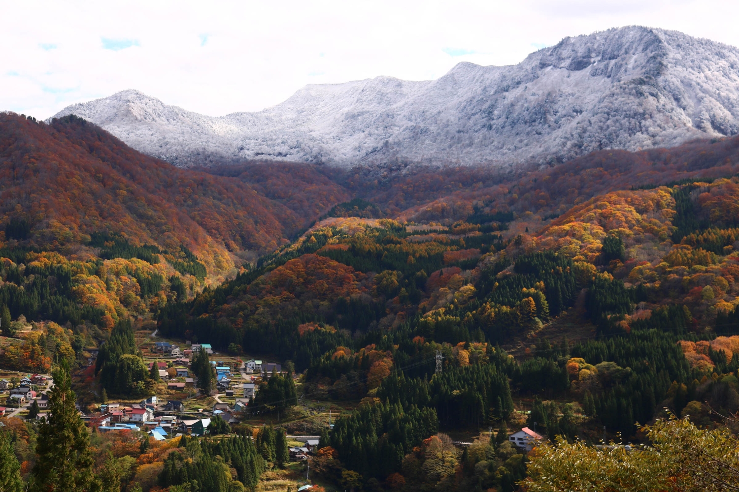
In modern times, we tend to dash between regions via expressways and bullet trains, crossing prefectural borders in mere hours. At first glance, this is convenient and luxurious, but if you think about it, the older mountain passes that people once walked were actually far denser and more extensive than our contemporary roads and railways.
As people traveled on these old routes, they experienced each region’s natural environment firsthand and learned about its culture and history through encounters with local communities. Knowledge spread along the roads, in turn sowing seeds for new cultures and histories to unfold.
“Every region has its own stories, and that’s precisely where its true worth lies,” says Mr. Sato. “What matters is how we utilize those stories to elevate the value of the land. In tourism, too, we need to move beyond one-off events and focus on storytelling that showcases regional resources.”
“Imagine this: Each time a train arrives at Echigo-Tanaka Station or Tsunan Station, four or five people step off with their backpacks and head toward Akiyama-go to hike the Nakatsugawa Left Bank Trail. When that sight becomes a normal, everyday occurrence, I believe we’ll have achieved true success,” says Mr. Sato.
Gone are the days of giant resorts or blockbuster events drawing massive crowds. Tourism is evolving into something that celebrates the intrinsic stories of a place—its history, culture, and the natural world. This means travelers will arrive individually or in small groups, each driven by their own passions.
Mr. Sato notes that, along with this shift, “we’ll need more specialized guides who know the region inside and out so they can cater to a wide range of visitors’ needs.” Such guides could also help address the challenges of an aging population.
“For instance, people nearing retirement could study their homeland, develop a deeper understanding of its value, and then find meaningful post-retirement work as guides. They’d have a role to fulfill, stay active, meet new people—and have no time to feel old.”
In other words, training trail guides not only supports tourism but also provides older generations with a sense of purpose and promotes their well-being.
At 27 kilometers (about 17 miles), the Nakatsugawa Left Bank Trail is by no means the longest out there, yet its significance looms large—especially in Akiyama-go, where a rich tapestry of history and nature converges.
“Everyone has their own way of enjoying it. That’s what makes the Nakatsugawa Left Bank Trail so special,” says Mr. Sato.
You could retrace the route that Suzuki Bokushi once walked in the Edo period and explore Akiyama-go’s past, or travel back even further to envision how people lived here in the Jōmon period. Fast-forward to modern times, and you’ll find this region—once vital for hydropower projects in Japan—can spark conversations about industrial heritage and energy issues.
As mentioned before, the area’s natural richness is on full display. The Nakatsugawa Left Bank Trail brings together countless themes and stories, inviting each traveler to explore what resonates with them most—truly a unique and fascinating journey.
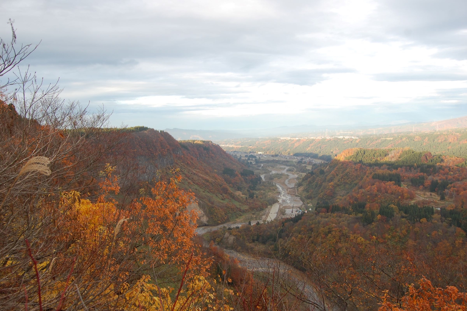
Even though many sections of the trail are beginner-friendly, you can still lose your way if you’re unfamiliar with the route. Whenever possible, we recommend walking with a local guide who can provide insights and explanations along the way.
Tsunan Tourist Association
Tel: +81-25-765-5585

TextTaiki Honma
The Stone Walled Rice Fields of Kettou (Kettou-no-Ishigakida)
On the north side of Kettou Hamlet are several layers of stone walled rice …
| 住所 | Kettou, Tsunan-machi, Nakauonuma-gun, Niigata, 949-8316 |
Tsunan Midama Park
This is one of the best viewing points in Tsunan to observe the columnar jo…
| 住所 | Midama shuraku, Tsunan-machi, Nakauonuma-gun, Niigata, 949-8313 |
Agricultural and Jomon Experience Center Najomon
This is an experiential learning facility for agriculture, Jomon, and the f…
| 住所 | 835 Shimofunatootsu, Tsunan machi, Nakauonuma gun, Niigata, 949-8201 |
AgricultureArtForest
AKEYAMA: Learning About Satoyama Culture in a Hidden Region Deep in Japan
TextTaiki Honma
PeasefulForestGeography
A Look into the Calming and Peaceful Forests of Tsunan
TextMatt Klampert
AgricultureWaterGeography
The Water of Ryugakubo──The Wonder of Nature and the Deity
TextTaiki Honma
PeasefulWaterGeography
New Greenpia Tsunan — a sustainable hotel
TextTaiki Honma
©2025 Tourism Tsunan